Historical and Regional Maps of the Tenths Reserves
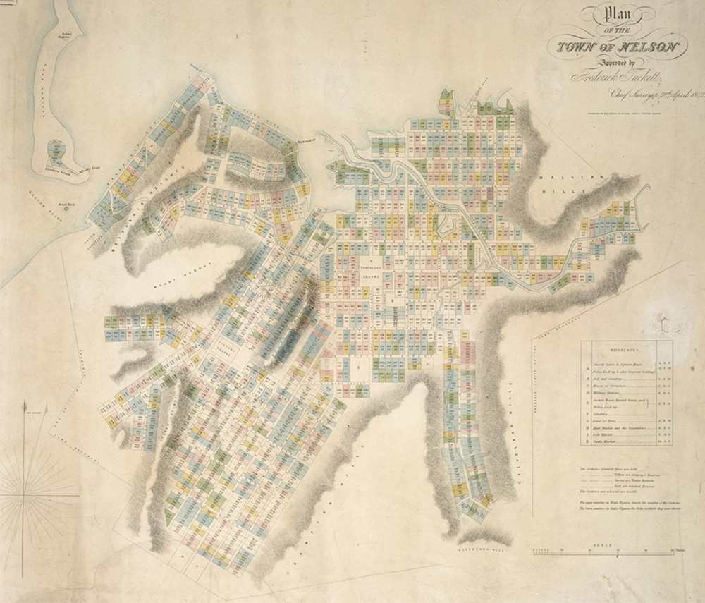
Town of Nelson
Plan of the Town of Nelson in 1842 showing Nelson Town Sections, including the ‘Native Reserves’ in green
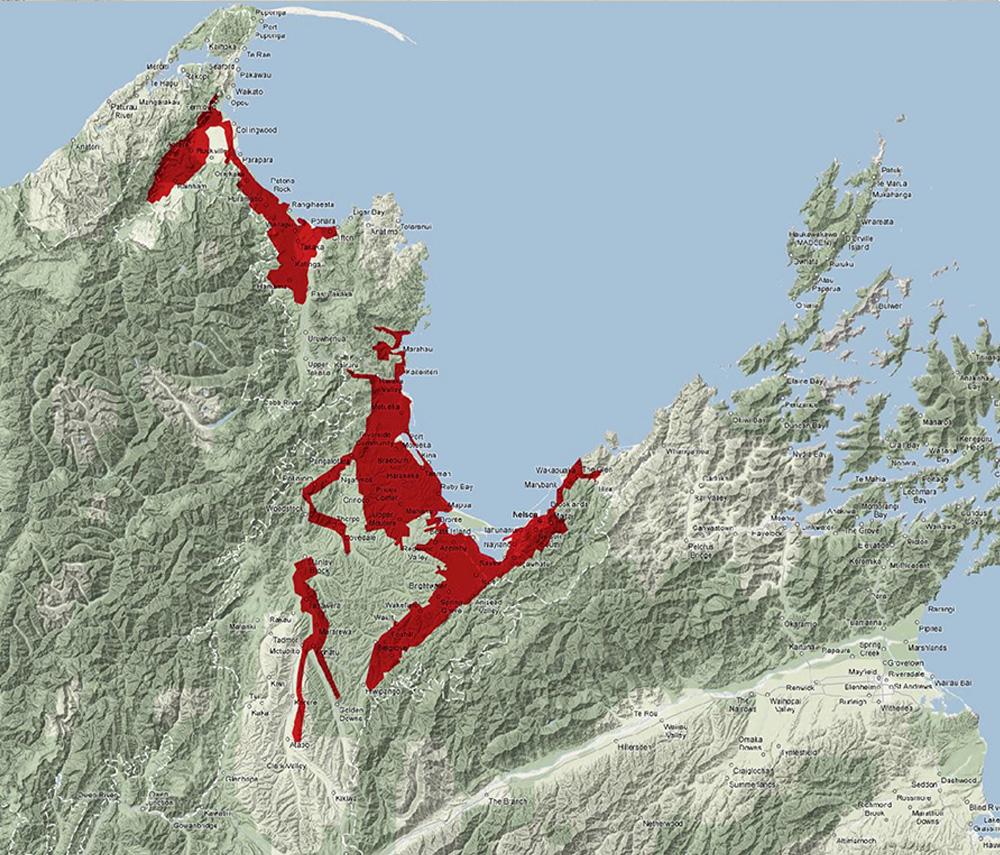
Te Tauihu - Regional Map
This Te Tauihu regional map is an interpretation of Commissioner William Spain’s boundaries, in which the Nelson Tenths and Occupation Lands were included.
The red section in Mōhua includes the rural sections. The red section in Nelson/Tasman includes the suburban and town section.