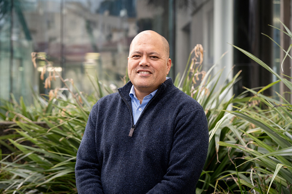
 This is Moka Apiti.
Moka has recently given evidence on our behalf regarding the mapping of kōrero tuku iho to identify our Occupation Lands on present-day maps.
Moka has a Masters of Social Science from the University of Waikato majoring in Indigenous Geographic Information Systems and is currently undertaking a PhD at Massey University. He is also the founder of @DigitalNavigators, which provides GIS, mapping services, and strategic digital technology consultancy to iwi and Indigenous communities.
Moka takes a tikanga Māori approach to cartography.
GIS is merely a tool that has the ability to most closely mimic the many aspects of what we as Māori have always been able to see through our waiata (songs), whakairo (carvings), moteatea (laments) and other tools we use to depict the land. It is only now that the technology has reached the point where Māori have always been: looking at the world in a spatial context.
The tikanga-consistent approach is to listen to the kōrero in the first instance and use that kōrero as the platform for the approach moving forward. The approach given to me by my old people was to apply the principle of whakaiti (humility), to be humble to show aroha (love) and manaakitanga (to care for). You must also show whakapono (belief, trust) in the kaupapa that you are going to meet with the iwi about, to show respect in their teachings, their ways and their customs and practices, and their understanding of the land through the principle given to me by my elders “He whakapapa ki te whenua” – the relationship to the land.
That is my guiding principle when working within a tikanga Māori approach to cartography. That approach places the kōrero and tikanga at the heart of the work (mahi).
GIS is only a tool by which one can capture and then visualise through maps the association and relationship one has with their environment.
Ngā mihi, Moka

